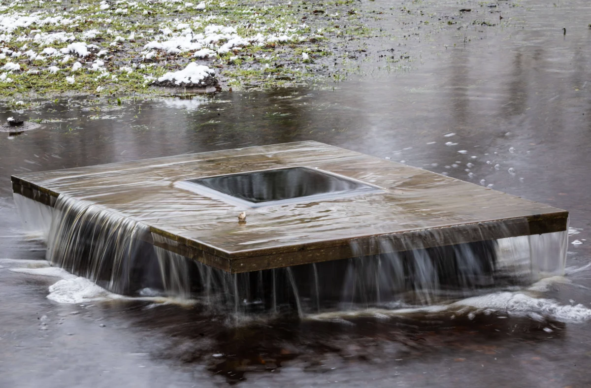
Rain of identical intensity can pass over two neighboring towns — and in one, the water rises half a meter and recedes within an hour, while in the other, it floods the streets for a week. The difference isn't the rain — it's what lies beneath it.
A flood isn't simply "a lot of water." It's always a chain: precipitation (or snowmelt), plus terrain, plus soil condition, plus whatever people have done to the riverbed and banks over previous decades. Remove one link, and there's no disaster. But when every link lines up, the water arrives fast and leaves slowly.
Spring Flooding, Flash Flooding, Storm Surge — These Are Different Things
Before digging into the causes, it's worth separating three terms that news coverage constantly blurs together.
Spring flooding (polovodye) is a seasonal, predictable rise in river levels caused by snowmelt. It happens every spring, lasts for weeks, and can — and should — be prepared for in advance. Most major floods in Russia are, in fact, abnormal spring floods.
Flash flooding (pavodok) is a sudden rise in water not tied to any particular season. It can occur at any time of year following heavy rain, a sudden thaw, or a dam breach. It develops within hours, sometimes minutes.
Storm surge flooding happens when water rises not from a river but from the sea: wind pushes water toward the shore. The best-known Russian example is St. Petersburg's floods, when a westerly wind drives water from the Gulf of Finland into the Neva River.
Factor One: How Much Water Arrived — and How Fast
The volume of precipitation is the starting condition, but not the only one. Intensity matters just as much: 50 mm of rain over 24 hours is one thing; 50 mm over two hours is something else entirely. In the second case, storm drains, streambeds, and drainage ditches can't move the water fast enough, and it spreads across the surface instead.
The same logic applies to snowmelt. If snowpack melts gradually, the soil absorbs the moisture. If winter brought heavy snow and spring arrived abruptly — with the entire accumulated snowpack melting within days — rivers receive, all at once, what should have arrived over a month.
Factor Two: Soil That Can't Absorb Water
Even heavy rain won't cause flooding if the soil can absorb it. Problems start when it can't:
- Frozen ground — in winter, the earth freezes tens of centimeters deep, and meltwater can't soak in — it runs straight across the surface into rivers instead. This exact factor played a key role in the catastrophic 2024 spring flooding in the Urals.
- Saturated soil — after prolonged rain, the ground is already soaked through like a sponge, and the next downpour has nowhere left to go.
- Asphalt and concrete — in cities, a large share of the surface is sealed off by impermeable material: roads, parking lots, foundations. Rainwater that would soak into forest soil instead runs across pavement into storm drains — and if the drains can't keep up, it floods the streets.
Factor Three: Terrain and Riverbed
Water always flows downhill — and pools in low ground. A city sitting in a river floodplain faces risk with every major flood. A city on a hill, almost none. That's obvious, but floodplains have historically been the most convenient places to build: flat ground, proximity to water, fertile soil.
The riverbed itself matters too. If it narrows — because of a bridge, an embankment, or a natural constriction in the valley — water at that narrow point rises higher than it would in a wider channel. If the channel becomes overgrown with trees and brush, or clogged with debris, its capacity drops, and even a modest flood can turn into localized flooding.
Factor Four: Ice Jams
In spring, as river ice begins moving, it can get stuck — at a bridge, a bend, a narrow point. This creates an ice jam: water keeps arriving with nowhere to go. Water levels behind the jam can rise dramatically, sometimes by several meters within a matter of hours. When the jam finally breaks, a surge of water rushes downstream, striking everything in its path.
On Siberian rivers — the Lena, the Yenisei, the Ob — ice jams occur regularly. These rivers flow from south to north, so their upper reaches thaw before their lower reaches: meltwater arrives at stretches where ice is still solidly in place.
Factor Five: What People Have Built
The human factor turns ordinary spring flooding into a catastrophe more often than most people assume.
- Dams and levees
A protective levee works exactly as long as the water stays below its designed capacity — or until the structure itself deteriorates.
The 2024 flood in Orsk is a clear example: a levee built in 2014 failed to withstand the surge on the Ural River. More than 6,500 homes flooded, and roughly 8,000 people were evacuated. Rostekhnadzor later determined that construction violations existed from the very start of the levee's build.
Viktor Danilov-Danilyan, scientific director of the Institute of Water Problems at the Russian Academy of Sciences, noted at the time that the flooding had been predictable: an abnormally snowy winter, deeply frozen ground, and an abrupt spring — all these factors were known well in advance. But preparation for the flood turned out to be insufficient.
- Development in floodplains
When residential blocks, shopping centers, and roads get built in a river's floodplain, the natural capacity that once absorbed floodwater disappears. The river has nowhere left to spread — so it spreads across whatever's been built there instead.
Why Floods Will Happen More Often
Two trends are operating simultaneously. The first is climatic: according to Roshydromet, the number of dangerous hydrometeorological events in Russia has doubled over the past 30 years. Extreme precipitation — intense downpours, abnormally snowy winters — is becoming more frequent.
The second is infrastructural: cities are growing, floodplains are being built over, and storm drainage systems in many towns haven't been modernized in decades.
Both trends reinforce each other: more water arrives, with fewer places for it to go.
What an Individual Person Can Do
A flood operates on a scale that requires state-level response, but some things do come down to personal decisions. If you live in an area that's flooded even once before, it's worth monitoring river levels each spring on your regional hydrometeorological center's website — data updates daily, and critical thresholds for each measuring point are known in advance.
Before buying a house or plot of land, it's worth checking whether it sits in a floodplain, or on the bank of a river that floods once every 10–20 years. Flood zone maps like this are publicly available on regional geoportals — and they can spare you what thousands of families in the Orenburg region went through in 2024.