
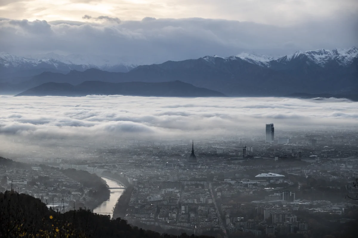
On the evening of November 2, 2026, the Hydrometeorological Centre issued a yellow weather warning for Moscow: forecasters expected visibility in the city to drop to a few hundred metres overnight, and in places in the Moscow region to as little as 100. For fog like this to settle over a city, damp alone isn't enough: several other conditions have to come together too.
In autumn, fog becomes a familiar part of the morning. Drivers switch on their fog lights, flights are delayed, and the familiar courtyard outside the window vanishes into a white veil. Sometimes the fog clears by 9am, and sometimes it hangs over the city until lunchtime.
It might seem that it's all down to humidity: damp means fog. But in practice there are days when humidity is close to 100% and the air is clear, and vice versa.
What Counts as Fog?
Fog is a suspension of tiny water droplets, or less often ice crystals, right at ground level. In essence, it's a cloud that has come down to the ground. Under the international definition, it's fog when visibility is less than 1 km.
If visibility is better than that but the air is still murky and damp, it's called mist. The physics is the same; there are just fewer, smaller droplets. Forecasts distinguish between the two for good reason: in mist, a driver can see the road hundreds of metres ahead, whereas in thick fog sometimes no further than 100.
At What Humidity Does It Form?
Fog usually forms when the relative humidity of the air approaches 100%. That means the air is saturated with water vapour and can't hold any more: the excess moisture starts to condense into droplets.
It's handier to go by the difference between the air temperature and the dew point, the temperature at which vapour turns into droplets. Fog usually forms once this gap narrows to 2–3 °C or less. If the evening forecast shows the temperature and dew point almost level, and the night is set to be clear and calm, the morning will most likely be foggy.
But there's no hard threshold. Fog can form at humidity just below 100% if there are a lot of dust, smoke or salt particles in the air, which moisture readily condenses on. And sometimes, even at 100% humidity, it never forms at all.
What Other Conditions Are Needed?
For the air near the ground to reach saturation, it either has to be cooled or have moisture added to it. Hence the different types of fog:
-
Radiation fog. The most common type in autumn. It forms on clear, still nights, when the ground loses heat quickly and cools the air just above it. It needs an anticyclone, light winds and moist air near the surface. It often forms in hollows, river floodplains and ravines, where cold air drains down.
-
Advection fog. This forms when warm, moist air moves over a cold surface: over snow during a winter thaw, for example, or over a still-cold sea in spring.
-
Steam fog. Cold air over warm water. You can see it in autumn over rivers and lakes while the water is still warm: wisps of vapour swirl over the surface.
-
Ice fog. This occurs in severe frost, usually below −30 °C. The droplets instantly freeze into tiny ice crystals. It's typical of Yakutsk and other Siberian cities, where the vapour from houses and cars hangs over the streets.
Fog is almost always helped along by a temperature inversion, when it's warmer higher up than at the surface. This warm layer acts like a lid: the cold, damp air can't rise and disperse, and the fog lingers for hours.
How Does a City Affect Fog?
Roman Vilfand, scientific director of the Hydrometeorological Centre of Russia, has explained the nature of autumn fogs like this:
"I call these cooling fogs. They form on cloudless nights, when the earth's surface cools quickly, the air temperature falls and the moisture condenses."
According to him, radiation fogs are less frequent in a big city than in the surrounding region because of the urban heat island effect: concrete, tarmac and buildings soak up heat during the day and release it at night, stopping the air from cooling to the dew point. That's why the morning fog in Moscow is often weaker than in the low-lying parts of the Moscow region.
But the city has the opposite effect too. The air of a big city contains a lot of fine particles from traffic and industry, which moisture condenses on more easily, so overall fog can actually be more frequent in towns than away from them. Which effect wins out depends on the particular night.
When there's a sharp cold snap and high humidity, fog blankets the centre too. That's what happened on the night of November 1–2, 2026: visibility at Moscow's airports dropped to 50 metres, and hundreds of flights were delayed. The following night, forecasters again expected visibility of 200–700 metres in Moscow and, in places in the Moscow region, 100–500 metres.
When Does Fog Clear?
Radiation fog usually lifts after sunrise: the ground warms up, the air near the surface becomes warmer than the dew point, and the droplets evaporate.
In the cold season, it's more complicated. The sun is weak, and under a persistent anticyclone fog can hang around for several days. What usually disperses it is a change in the weather: a strengthening wind or the arrival of a weather front.
How to Live With Fog
Check the dew point in the evening forecast. If it almost matches the overnight temperature, the wind is light and the sky is clear, expect fog in the morning, especially in low-lying areas, near rivers and on roads out of town.
Allow extra time for your journey. In fog, MChS, Russia's Emergencies Ministry, advises drivers to slow down, leave a bigger gap, avoid changing lanes, avoid overtaking unless necessary, and avoid braking sharply. If you're heading out of town, set off later, once the fog has started to clear.
Take the terrain into account. It may be clear on a hill or in the city centre, while a river floodplain a couple of kilometres away is a solid white wall. Take extra care on routes through low ground and over bridges on a foggy morning.
Check your flight. Thick fog often delays planes. If your morning departure coincides with a fog warning, check your flight status in advance.


