The forecast says: "The city will come under the influence of a deep cyclone." What does that actually mean — grab an umbrella, or sunscreen? And when someone says "an anticyclone will settle in for several days" — is that good news or bad? Two words that show up in every weather report, yet remain abstract to most people.
Cyclones and anticyclones are the two main "characters" in weather. They shape cloud cover, precipitation, wind, and temperature — everything you notice the moment you look out the window. One usually ruins your plans; the other hands you sunny days. But they're not as simple as "bad" and "good." Here's how each one actually works, why they take turns, and what's really happening when a meteorologist utters those words.
The Cyclone: An Air Funnel With a Bad Temper
A cyclone is a zone of low atmospheric pressure. Pressure at its center runs lower than at its edges. Air from the surrounding area rushes toward that center — inward — and spirals as it goes. In the Northern Hemisphere it spins counterclockwise; in the Southern Hemisphere, clockwise. That's a result of the Coriolis force, produced by Earth's rotation.
But the rotation isn't the important part — what happens at the center is.
Air pulled toward the low-pressure zone can't just pile up on the ground — it has nowhere to go but up. As it rises, it cools. The moisture it was carrying condenses, and clouds form.
The more powerful the cyclone, the higher the air climbs, the more moisture condenses — and the denser the cloud cover, the heavier the precipitation, the stronger the wind.
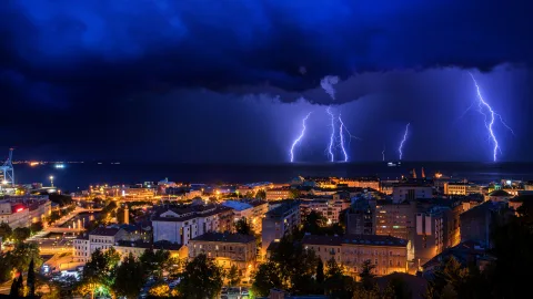
That's why a cyclone almost always means overcast skies, rain or snow, wind, and shifting pressure. Cyclones are what bring extended autumn rains, winter blizzards, and summer thunderstorms.
The Anticyclone: A Heavy Dome of Clear Sky
An anticyclone is the mirror opposite. It's a zone of high pressure. Air inside it moves from the center outward toward the edges, also spiraling — but in the reverse direction, clockwise in the Northern Hemisphere.
The key detail: at the center of an anticyclone, air sinks from above.
A downward flow follows entirely different physics. As air descends, it compresses and warms. Warmer air can hold more moisture without releasing it as condensation. No clouds form — and any that were already there tend to dissipate. The sky clears, the wind dies down, and pressure stays consistently high.
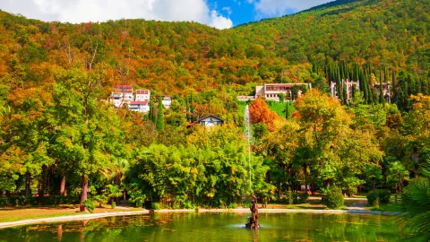
An anticyclone means clear, calm weather. In summer: heat and cloudless skies. In winter: frost and sunshine. In spring and autumn: crisp air and pleasant days.
Where They Come From
Cyclones and anticyclones aren't random events — they're a predictable consequence of the uneven heating of Earth's surface.
The sun heats the equator more intensely than the poles. Warm air rises, cold air sinks. That difference drives a global atmospheric circulation, and Earth's rotation twists the resulting airflows into spinning vortices. Where warm and cold air masses collide — at atmospheric fronts — cyclones are born. Where air settles calmly, anticyclones form instead.
In temperate latitudes, where most of Russia sits, cyclones and anticyclones take turns.
A cyclone passes through — an anticyclone follows. Then another cyclone arrives. This conveyor belt runs continuously and drives the day-to-day variability of the weather. That's exactly why "two stable weeks" of weather is rare across central Russia: a new cyclone typically arrives every 3 to 7 days.
Size: Bigger Than They Seem
A cyclone isn't a cloud or a rain shower — it's an atmospheric vortex 1,000 to 3,000 kilometers across. It can blanket several countries at once. When a Moscow forecast says "a cyclone from the Atlantic," it's describing an air mass roughly half the size of Europe, moving east at 30–50 km/h.
Anticyclones tend to run even larger — up to 4,000–5,000 km across — and move more slowly. While a cyclone can blow through in a couple of days, an anticyclone can linger over a region for a week or longer. That's what produces extended stretches of clear weather — heat waves in summer, deep freezes in winter.
There are also stationary anticyclones — enormous high-pressure zones that sit in place for months.
The best-known example is the Siberian High, which forms every winter over Central and Eastern Siberia. It's responsible for the harshness of Siberian winters: clear skies, calm air, and temperatures of –22 to –58°F (–30 to –50°C). With no cloud cover, the ground loses heat rapidly, and the cold intensifies with every passing night.
The Front: A Line of Collision
Between a cyclone and an anticyclone lies the atmospheric front — the zone where warm and cold air masses meet. A front isn't a wall; it's a sloped surface along which warm air rises above cold air (or cold air wedges its way underneath warm air).
Fronts are where the most dramatic weather changes happen. Sunny one moment — and suddenly the sky clouds over, rain begins, temperatures drop 5–10 degrees within an hour, and the wind picks up. That's a cold front passing through — the leading edge of a new cyclone displacing an anticyclone.
A warm front behaves differently: cloud cover builds gradually, rain starts gently, temperature rises smoothly. A warm front creeps in; a cold front crashes in.
The Anticyclone Isn't Always a Friend
Clear weather isn't automatically a gift. A prolonged summer anticyclone means an abnormal heat wave — one that harms people, fuels wildfires, and dries out bodies of water. The summer of 2010 in central Russia is the textbook case: a powerful anticyclone blocked incoming cyclones for weeks, and Moscow's temperature climbed above 100°F (38°C) for 44 straight days.
Meteorologists call these blocking anticyclones — they park themselves in the path of the usual airflow and shut out moist air. The result is drought, heat, and fires. There's a paradox here: "good weather" that lasts too long turns into a natural disaster.
In winter, a stationary anticyclone over Siberia is what drives extreme cold. A cloudless night sky means maximum heat loss from the surface. Without a blanket of clouds, the ground freezes faster and deeper. That's precisely why the coldest nights are the clearest ones — in Oymyakon and Verkhoyansk, record lows of –90°F (–67.7°C) were recorded under a completely cloudless, windless sky.
The Cyclone Isn't Always an Enemy
On the flip side, cyclones are the main source of moisture. Without them, there would be no rain, rivers wouldn't fill, forests wouldn't grow. Drought in farming regions is essentially a shortage of cyclones: an anticyclone parks itself, and the rain never arrives.
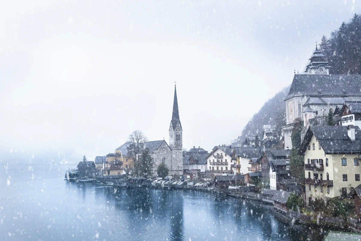
Winter cyclones bring thaws: cloud cover acts like a blanket, keeping the temperature from dropping too far. When a cyclone passes through Moscow in winter, the temperature might sit at 28°F (–2°C) instead of the 5°F (–15°C) you'd get under an anticyclone. Many people would honestly rather have a mild, overcast day than bitter cold under a clear sky.
Cyclones also clean the air. Wind and precipitation flush dust, smog, and industrial pollution out of the atmosphere. After a cyclone passes through, city air feels noticeably fresher. An anticyclone does the opposite — it traps pollution under a lid of sinking air, which is why smog over major cities intensifies during clear, windless weather.
How to Read a Forecast
Now that the mechanics make sense, weather reports stop being a string of jargon.
- "A cyclone from the Atlantic" — expect cloud cover, precipitation, wind, and falling pressure. In winter: a warm-up toward roughly freezing, with wet snow or rain. In summer: cooler air, thunderstorms, and temporary relief from the heat.
- "The anticyclone will strengthen" — pressure rises, skies clear, wind dies down. In winter: frost and sunshine. In summer: heat and mugginess. In spring and autumn: golden days for being outside.
- "An atmospheric front will pass through the region" — a sharp weather shift: a temperature swing, wind, precipitation. The front itself moves through in a matter of hours, after which a new pattern settles in.
- "Blocking anticyclone" — the weather will get stuck in place for an extended period. Heat in summer, deep cold in winter. Either one isn't just uncomfortable — it can be genuinely dangerous.
A barometer on the wall is the simplest forecasting tool there is. Pressure falling? A cyclone is approaching — expect things to worsen. Pressure rising? An anticyclone is on its way — expect clear skies. Pressure holding steady and high? The anticyclone has already arrived, and the weather won't change until pressure starts to drop.