At sea level, every square centimeter of your body is under the weight of an air column weighing just over one kilogram. You don't notice it because your body is perfectly adapted to this constant force. But let atmospheric pressure shift by just a few percent, and some people develop headaches, while the weather outside can change dramatically.
Atmospheric pressure is one of those scientific terms almost everyone has heard of, yet few people truly understand how it works. In reality, it plays a central role in determining whether tomorrow will be sunny or overcast, whether the wind will pick up, or whether rain is on the way. It's also the first measurement meteorologists check when preparing a weather forecast.
What Is Atmospheric Pressure?
Earth's atmosphere is a massive envelope of gases surrounding the planet. It has an astonishing mass of around 5.15 × 10¹⁸ kilograms—roughly 5.15 quadrillion metric tons. That enormous mass constantly presses down on Earth's surface and everything on it.
Atmospheric pressure is simply the force exerted by the air on a given area.
At sea level, the average pressure is 1,013.25 hectopascals (hPa), equivalent to 760 millimeters of mercury (mmHg)—the internationally recognized standard atmospheric pressure. In practice, however, pressure is never truly constant. It changes continuously at every location on Earth.
The Five Main Factors That Affect Atmospheric Pressure
1. Altitude Above Sea Level
The higher you climb, the less air remains above you, meaning atmospheric pressure decreases.
As a rule of thumb, pressure drops by roughly 1 mmHg for every 12 meters (39 feet) of elevation gain. That's why "normal" atmospheric pressure differs from one city to another. In Moscow, which sits about 156 meters above sea level, normal pressure is around 748–749 mmHg, not 760. On the summit of Mount Elbrus (5,642 meters), atmospheric pressure falls to roughly 380 mmHg—about half the value at sea level.
2. Air Temperature
Warm air is less dense than cold air because its molecules move faster and spread farther apart. As a result, areas with warmer air generally experience lower atmospheric pressure, while colder regions tend to have higher pressure.
This simple principle drives Earth's global atmospheric circulation. Air rises over the equator, creating low-pressure zones, while colder air sinks near the poles, producing areas of high pressure.
3. Humidity
Here's a counterintuitive fact: humid air is actually lighter than dry air.
Water vapor (H₂O) molecules weigh less than the nitrogen (N₂) and oxygen (O₂) molecules that make up most of Earth's atmosphere. As water vapor replaces some of the heavier gases, the average weight of the air decreases, causing atmospheric pressure to drop slightly. That's one reason why barometric pressure often falls before rainfall.
4. Air Mass Movement
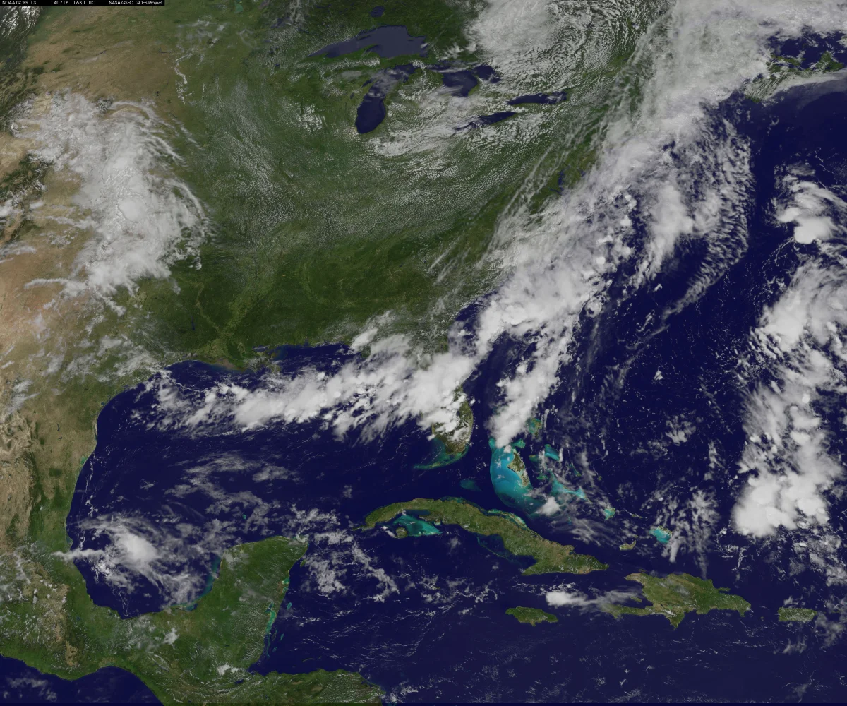
The biggest drivers of day-to-day pressure changes are cyclones and anticyclones. A cyclone is a low-pressure system where air rises, typically bringing clouds, wind, and precipitation. An anticyclone is a high-pressure system where air sinks, leading to clear skies, calm winds, and dry weather.
These enormous weather systems move across continents—generally from west to east in the mid-latitudes—causing atmospheric pressure at any given location to rise and fall.
5. Time of Day
Atmospheric pressure also follows a subtle daily cycle. Pressure is usually slightly higher in the morning and evening, and slightly lower during the afternoon and overnight. The variation is modest—typically 1–2 hPa—but weather stations record this rhythm consistently. The reason lies in the daily heating and cooling of the atmosphere by the Sun.
Why Atmospheric Pressure Changes Every Day
Large-scale factors such as latitude, altitude, and Earth's climate establish the overall pressure pattern. But the day-to-day fluctuations people notice are primarily caused by the movement of cyclones and anticyclones—vast rotating weather systems spanning hundreds or even thousands of kilometers.
A cyclone forms where warm and cold air masses meet, along what's known as an atmospheric front. Warm air rises above denser cold air, lowering pressure at the surface. Air from surrounding areas rushes in to fill the gap and begins to rotate due to Earth's rotation, creating a spiral of low pressure.
An anticyclone works in the opposite way: air descends, pressure increases, and winds spread outward from the center.
These systems are constantly pushed along by high-altitude air currents in the troposphere. Across the mid-latitudes—from Moscow to London—a cyclone can replace an anticyclone every three to seven days.
That's why atmospheric pressure is almost never stable. One day a region may sit under an anticyclone with pressure around 770 mmHg; just a few days later, a passing cyclone can lower it to 740 mmHg.
Record-Breaking Atmospheric Pressure Extremes
The lowest sea-level atmospheric pressure ever recorded was measured inside Typhoon Tip over the Pacific Ocean in 1979: just 870 hPa (652 mmHg)—about 14% below normal.
The highest recorded pressure occurred during a powerful Siberian anticyclone over Mongolia in winter, reaching 1,083.8 hPa (813 mmHg).
The difference between these two records exceeds 200 hPa, or roughly 160 mmHg.
In Moscow, atmospheric pressure typically ranges from 730 to 770 mmHg, a spread of around 40 mmHg. During the passage of an active weather front, pressure can shift by 10–15 mmHg in a single day—a change many people notice.
Why Some People Feel Pressure Changes
A healthy body usually adapts to pressure changes within a few hours.
However, rapid fluctuations—typically 10 hPa or more within 24 hours—can trigger headaches, fatigue, joint pain, and mood changes in some individuals. This phenomenon is known as weather sensitivity, or meteorosensitivity, and estimates suggest it affects 20% to 50% of the population.
Scientists still haven't fully understood the mechanism, but pressure changes may influence blood vessel tone, blood viscosity, and the pressure inside joint capsules.
People with cardiovascular disease, migraines, or chronic joint conditions are generally considered the most susceptible.
How to Read a Barometer
A barometer measures the current atmospheric pressure, but the trend is often more important than the absolute number. If the reading is rising, an anticyclone is likely approaching, meaning weather conditions are expected to improve. If it's falling, a cyclone is on the way, bringing a higher chance of clouds, wind, and precipitation.
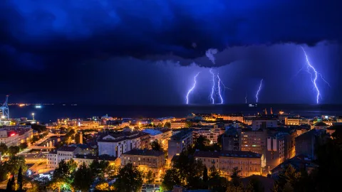
A rapid drop—more than 3 hPa in three hours—is a strong indicator that an active weather front is approaching. If accompanied by strengthening winds and sharp temperature changes, it may signal heavy showers, thunderstorms, or squalls.
Persistently high pressure usually means an anticyclone has settled over the region. In summer, that often brings hot, cloudless weather; in winter, it typically means clear skies and freezing temperatures.
Persistently low pressure, by contrast, is commonly associated with extended periods of cloudy, unsettled weather.
Ultimately, it's the constant fluctuations in atmospheric pressure that make weather so changeable—and why meteorologists monitor them so closely before telling you whether you'll need an umbrella tomorrow.