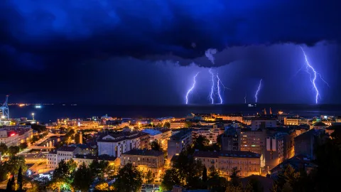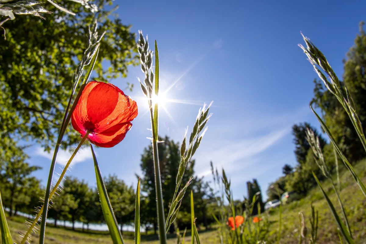
On July 28, Moscow saw +28°C and sunshine. On July 29: +16°C, hail, and gusting wind. On August 1: +28°C again, not a cloud in sight. Summer 2026 isn't record-breakingly rainy. It's record-breakingly volatile. And it's precisely this whiplash, not the amount of rainfall, that's created the sense that the weather has broken.
The headline "Nature has seemingly lost its mind" from Argumenty i Fakty captures Muscovites' mood this summer perfectly. Dacha owners are racing to save crops from sudden downpours, city dwellers are dreaming of stable heat — and meteorologists insist nothing abnormal is happening. Who's right?
Is There Really More Rain Than Usual?
The answer is no. At least, not in Moscow.
According to the VDNKh weather station, by mid-July 2026 only 35.2 mm of precipitation had fallen — 41% of the norm (85 mm). This isn't a "rainy" July — strictly speaking, it's a dry one. June showed no anomalies in total rainfall either.
But in certain districts of Moscow Oblast, the picture looked different. In Dmitrov, by mid-July, rainfall had already hit 88 mm (above normal); in Mozhaisk and Kolomna, over 70 mm. Rain distribution was highly uneven: flooding in one spot, dry conditions right next door.
July's overall totals confirm the month passed without extreme precipitation records. A single day — July 12, with 17 mm — accounted for most of the monthly sum. The rest of the time alternated between dry and wet stretches.
So Why Does It Feel Like It Never Stops Raining?
Because summer 2026 is defined by "weather whiplash," and the brain remembers contrasts, not averages. A typical week looked like this: two or three days of heat at +28–30°C, then a sharp cool-down to +16–19°C with a downpour and thunderstorm, then sunshine again. This cycle repeated from June through late July.
On July 17, Moscow recorded +10.4°C — the month's minimum, a value more suited to September. Average daily temperature during those days ran four degrees below normal. A week later: back to +28°C. Three days after that: hail, squalls, and +16°C again.
It's this amplitude — not the total rainfall — that creates the sense of a "broken" summer. Human memory is wired so that one soaked weekend registers more vividly than five dry weekdays.
What's Behind the "Whiplash"?
"The passing cyclone formed near the Baltics, but it's a typical representative of an Atlantic air mass. Its moisture comes from the Atlantic Ocean," explains Yevgeny Tishkovets, a meteorologist at the Phobos weather center.
The mechanism lies in the behavior of the jet stream. In summer 2026, it's tracking across European Russia in a wave-like pattern, with deep bends. When a wave crest sits over Moscow, the city falls under warm southern air and heat sets in. When a trough sits over the city, cold Arctic masses are pulled in, bringing rain.
Phase changes occur within one or two days, sometimes within hours. Morning: +28°C and clear sky. Evening: a cold front with a downpour and hail, as happened on July 28, when the temperature dropped 10 degrees within hours.
"Three days of intense precipitation isn't an anomaly — it's a routine weather event typical of our latitudes," notes meteorologist Pozdnyakova in comments to AiF.
Why This "Whiplash" Is Becoming More Frequent
Climatologists are documenting a trend: over recent decades, the jet stream's waviness has been increasing. The reason is uneven warming: the Arctic is warming 3–4 times faster than the equator, and the temperature difference between them is shrinking.
That temperature difference is what "stretches" the jet stream into a straight line. As it weakens, the stream begins to meander, and waves of heat and cold reach deeper into the mid-latitudes.
The result isn't "more rain" — it's sharper swings. Three days above +30°C, then a plunge to +16°C with a downpour, then back again. This pattern has characterized several recent summers, and 2026 is a vivid example of it.
What's Forecast for August
Meteorologists promise a more stable picture — with caveats. The first week of August looks warm and dry: +25–28°C, an anticyclone moving in from the west. The weekend of August 1–2 is expected to be record-warm — 4–5 degrees above normal.
Beyond that, things get less certain.
Climatologist Pavel Lebedev forecasts a shift in precipitation character: "Dreary drizzle will give way to fast convective downpours — capable of dumping a week's worth of rain in 10 minutes, yet leaving barely any sense of dampness. The ground dries within minutes."
Total August precipitation is expected to run 10–20% above normal (78 mm → 85–94 mm). Not a catastrophe, but not drier than usual either. Temperature should sit roughly a degree above the climatic norm, gradually cooling to +16–21°C by month's end.
By the second half of August, a gentle transition toward autumn will begin: nights turning cooler, days shortening, and summer — whatever it was — coming to an end.
Was This Summer Actually Unusual?
By the overall data — no. Specialists at the Phobos center characterize July 2026 as "a fairly typical 21st-century Moscow July: no extreme records, but with the customary variety of weather." The temperature anomaly — +0.8°C above normal — is minor.
What was unusual wasn't the what, but the how: sharp temperature swings, sudden downpours breaking out of a clear day, hailstones the size of grapes an hour after cloudless skies.
This isn't a "bad summer" in the classic sense (like 1994, when it stayed cold and wet for three straight months). It's a jittery summer — good days and bad days shuffled together at random.
When Will "Normal" Weather Settle In
The honest answer: when the whiplash stops — that is, when the jet stream straightens out and stops tossing the Moscow region between warm and cold air masses. Meteorology currently can't forecast that reliably beyond a week.
But statistics favor the optimists. The first half of August in Moscow is usually more stable than July: anticyclones are more frequent, rainfall lighter, and swings gentler. If the forecast for the first weekend of August (+28°C, sun, calm) holds, there's a chance for a week and a half to two weeks of genuine summer, free of surprises.
And after that — it won't matter much. Because from the 20th of August onward, autumn arrives in Moscow regardless — in temperature, in light, and in feel. And with it comes velvet season on the Black Sea, golden foliage in the parks, and the traditional refrain: "summer flew by and I never got to rest." But that's an entirely different story.