
The original source of the photo could not be found; it was taken from Smithsonian. Spring means dripping icicles and trickling streams, or so most people think, but it is precisely in spring that ice tsunamis most often strike. Such events do not depend on what the weather forecast for the week or the month will be. There are no barriers for massive ice. It easily breaks out windows and doors, sweeps away houses and threatens the lives of many people. Let us figure out what an ice tsunami really is. Where and when to see it. The cataclysm can be observed in the north in spring. So, for example, quite recently an ice tsunami struck the shore of Lake Erie in Canada and the USA at the same time. As for Russia, the most spectacular footage was given to us by Lake Baikal and the Bureya River. According to many years of observations, the ice begins to melt at the end of February or the beginning of March, and it is during this period that ice tsunamis form most often. How it happens. An ice tsunami on Lake Baikal. The cracked ice begins to move, the wind drives the fragments of the ice cover toward land, and in the end large blocks and small shards of ice are hurled with force onto the shore. Like a cascade, one floe piles onto another, and the wall of ice sweeps away everything in its path. It is quite difficult to see this and call it a wave; it is more of an invasion of ice floes. Scientists, too, do not call the phenomenon an ice tsunami; to describe it they use the terms «ice shove» and «ice surge of the shoreline». In its destructive power, an ice tsunami is like an iceberg thrown ashore. Eyewitnesses always say that the crashing of ice onto land is always accompanied by a loud sound resembling a passing train. Conditions for occurrence. Science knows of at least three conditions for the occurrence of this natural cataclysm. The ice must move away from the shores, but at the same time there must be shards of ice on the surface of the water that move freely with a gust of wind. Wind. Ice tsunamis are most often encountered on lakes, although such a phenomenon is entirely possible on an ocean shore too. An important component is the wind. In a complete calm, the ice cascade has no chance whatsoever. Besides the strength of the wind, its duration matters. If the gusts are strong but last less than 12 hours, then no danger is to be expected. Much also depends on the direction of the wind, which makes it possible to determine the potential impact zone in advance. The mass of ice must be large; this is tied to the laws of physics. The greater the mass, the greater the momentum. If the mass of ice is small, the ice will simply not overcome the force of friction. After all, the movement of ice across the ground is greatly hindered in ordinary life. Thus, knowing how the weather will behave tomorrow is not enough. One must also take into account the state of the ice on the body of water. Forewarned and forearmed. Photo taken from MSN.com. It is far from always possible to forewarn of an ice tsunami, since meteorological services do not consider the behaviour of the wind over lakes separately. But the residents of houses on the shore very often predict an ice shove, which is precisely why an ice tsunami is almost always captured on eyewitness video. In order to protect their homes, people have to act on their own. To reduce the size and quantity of the ice, even explosives are brought into play. The force of the consequences. Image taken from YouTube (https://www.youtube.com/watch?v=fqptbtwXUCs). The consequences of ice crashing onto land are quite predictable: the ice blocks transport routes, floods houses (since in a warm room it begins to melt quickly), and in some cases sweeps away everything in its path altogether. Residents of coastal zones where ice tsunamis most often form look at bodies of water and weather forecasts in a completely different way. So, for example, if the weather worsened tonight, the wind picked up and the ice broke up, then in all likelihood a cataclysm should be expected in the morning.
Ice tsunamis — the might of ice and the force of the wave
Read also
News
What to Do in Phuket During the Rainy Season — and How to Enjoy Your Trip Even If It Pours Every Day
August 26, 2026
News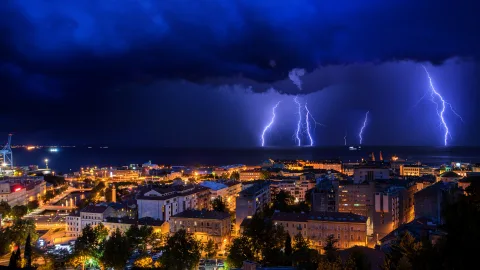
Where in the World Thunderstorms Strike Most Often — and Which Spot Is the Planet's Lightning Capital
August 26, 2026
News
Where to Fly for a Beach Vacation in September — Destinations That Deliver Both Good Weather and Good Prices
August 26, 2026
News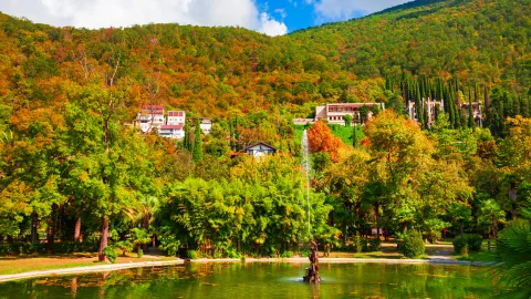
When to Visit Gagra — and Which Months Give You the Best Sea Without the Crowds
August 26, 2026
News
Cyclone vs. Anticyclone: What's the Difference — and Which One Brings Good Weather
August 25, 2026
News
The Best Time of Year to Visit Vietnam — and How to Pick the Right Month
August 25, 2026